A Coastal Viewpoint Checklist for Reading Shoreline Change
Use this coastal viewpoint checklist to compare erosion signs, shoreline defenses, and nearby infrastructure, then decide what each view can—and cannot—tell you.
The common mistake with a coastal viewpoint checklist is treating every stop as a photo opportunity; the cost is a set of striking images that cannot explain what may be changing. A more useful checklist links each view to a specific question about shoreline processes, defenses, or the buildings and services exposed nearby.
Coastal viewpoint checklist items that focus on change
Choose publicly accessible viewpoints that show different physical settings, such as a sheltered harbor, a defended promenade, or an open beach. Check local access notices before setting out, and do not enter restricted structures or unstable ground to improve a view.
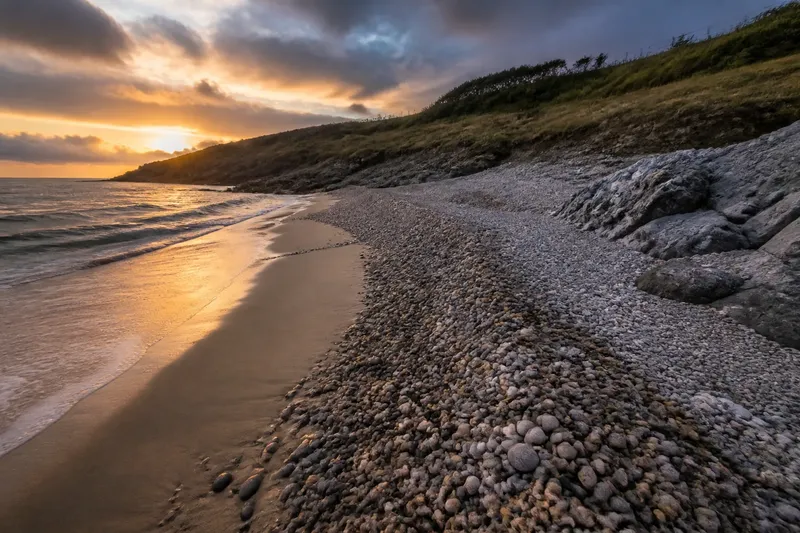
- Shoreline shape: Check whether the visible shore is a beach, dune, cliff, mudflat, or harbor edge. If its form is clear, describe that feature; if it is obscured by tide, vegetation, or structures, record the uncertainty rather than assigning a type.
- Possible erosion signs: Check for exposed roots, a fresh-looking scarp, or sediment at the foot of a slope. If several features are visible, note them as possible erosion evidence; if not, avoid concluding that erosion is absent.
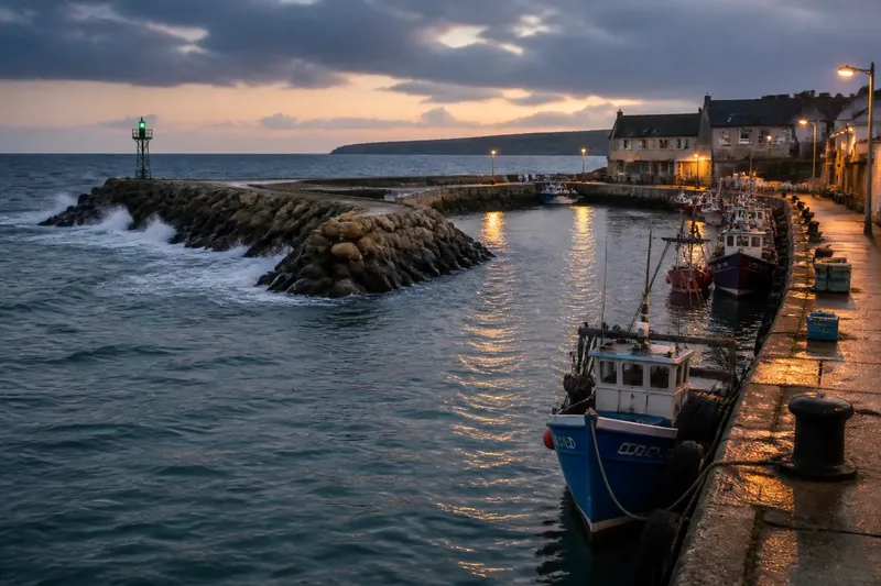
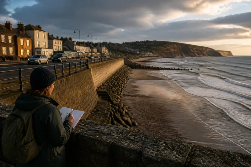
- Coastal defenses: Check for a seawall, revetment, groyne, or breakwater and note which stretch it appears to protect. If the structure is visible, describe its position; if its purpose or condition is unclear, consult local coastal-management information instead of guessing.
- Sediment movement: Check whether sand or shingle appears to collect on one side of a groyne or around a harbor entrance. If a pattern is plainly visible, record its location; if the view is inconclusive, do not infer the direction or cause of movement.
- Infrastructure exposure: Check whether roads, homes, utilities, or public facilities sit close to the shore or behind a defense. If the relationship is visible, identify the feature and its setting; if distance or risk is uncertain, leave that judgment to official maps and assessments.
- Water and weather conditions: Check for wave action, wind-driven spray, and the tide’s apparent position. If conditions limit visibility or access, make that a reason to choose another public viewpoint or return later; never approach the water or a structure to get a clearer look.
Use the same checklist at each stop, but distinguish what you can see from what you think it means. A seawall, for instance, is observable; its current effectiveness cannot be judged reliably from one casual view.
Compare viewpoints without overstating the evidence
Different viewpoints can reveal contrasts, but they do not by themselves explain the cause of coastal change. A beach that looks narrower than a nearby stretch may reflect local conditions, the tide, or the angle of view; a dated local record or coastal-management document is needed to assess longer-term change.
For a useful comparison, note the viewpoint’s location, the visible shoreline form, nearby defenses, and the conditions that could affect what you see. Keep personal observations separate from information in official sources, such as a local authority’s shoreline management plan or coastal erosion map.
How should you interpret a coastal viewpoint?
Can one visit show whether a coast is eroding?
One visit can reveal features that may be consistent with erosion, but it cannot establish a trend on its own. Compare dated information from responsible local or national authorities before drawing conclusions about change over time.
What does a seawall tell you?
A seawall shows that a shore has been structurally defended at that location. Its presence alone does not show how well it performs, what lies beyond its protection, or whether nearby sediment patterns have changed.
Where can you find reliable local context?
Check the relevant local authority’s coastal-management pages, shoreline management plan, or official hazard mapping. If a map is difficult to interpret, ask the responsible authority or a qualified coastal professional rather than treating a viewpoint as a technical assessment.
A worked comparison keeps observation separate from inference
Imagine a visitor has an invented plan to compare two public viewpoints: a town promenade beside a visible seawall and an open beach access point. At the promenade, the visitor records “seawall along the waterfront; road and buildings behind it.” At the beach, the visitor records “open sand; no defense visible from this access point.”
The visitor then checks the local authority’s coastal information for both locations. If it identifies a management policy or mapped concern, the visitor can report that as information from the authority; if the material does not cover the specific question, the visitor leaves the cause and level of risk undecided. The result is a clear comparison of two settings without claiming that one visit proves erosion or defense performance.
Use the coastal viewpoint checklist as a record, not a verdict
When you return to a viewpoint, compare the same visible features and note conditions such as tide, weather, or access that may make the views different. For longer-term questions, rely on dated local records and qualified interpretation rather than memory or isolated photographs.
A coastal viewpoint checklist is most useful when it leads to a careful next decision: describe what is visible, seek an authoritative source for what is not, and leave uncertain conclusions open. That distinction makes a short visit a sound starting point for understanding a changing shoreline.